Perth DigitaLandscapes
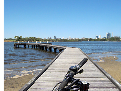
 Perth DigitaLandscapes is a project of planning and mapping of outdoor discovering experiences in the city of Perth (WA) and the surrounding region. The project is developed in 4 areas; three urban and one extra-urban, for a total of 12 interactive landscapes, each marked by a photograph that represents them and also act as a preview. Inside each map there is a track of a trail for walking or biking activity, that combines a series of points of interest enriched with information, same as the format Paesagginterattivi. These experience of discovering Perth took place in 2013, during a 45-day trip all dedicated to the city, from the seaside to the bushland, to the parks of the hilly area. The publication of Perth DigitaLandscapes is a tribute to a city in which I felt completely at home, which remained in my heart and which today deeply linked with my family and its history.
Cristina Merloni
